Data pour le développement durable
Le labyrinthe de la marge perdue : Déconstruire l'écart d'exécution
Le labyrinthe de la marge perdue : Déconstruire l'écart d'exécution

Cet article présente LLMOps, une branche spécialisée fusionnant DevOps et MLOps pour gérer les défis posés par les grands modèles de langage (LLM)...
Apprenez à tirer parti d'une quantité limitée de first-party data grâce à l'IA et à la modélisation.
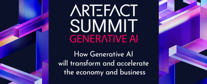
Lors de la conférence Artefact Generative AI, qui s'est tenue le 20 avril 2023, des acteurs clés dans le domaine de l'IA générative ont partagé leurs connaissances et échangé des idées sur cette nouvelle technologie et sur la manière dont les entreprises peuvent l'utiliser pour améliorer leur productivité.

Les moteurs de recherche font partie intégrante du paysage numérique depuis plus de vingt ans et, grâce à l'intégration de la modélisation du langage par l'IA, leur rôle dans la fourniture d'informations pertinentes devrait encore s'accroître.

La migration vers l'AG4 peut être une tâche difficile, mais elle est essentielle. Voici nos meilleures pratiques pour réussir cette migration.
Les modèles de causalité sont l'avenir du marketing. Inscrivez-vous à notre événement pour apprendre comment mettre en œuvre un tel modèle et pour voir comment Artefact a mis en œuvre ces modèles pour ses clients.

Interview de Justine Nerce, partenaire de Artefact, par le Hub Institute, à propos de la gouvernance de Data

L'IA a le potentiel de transformer le secteur de la santé grâce à des solutions numériques. Comment l'IA améliore-t-elle le parcours de soins des patients ?